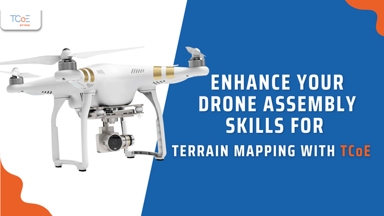
Enhance Your Drone Assembly Skills for Terrain Mapping with TCoE
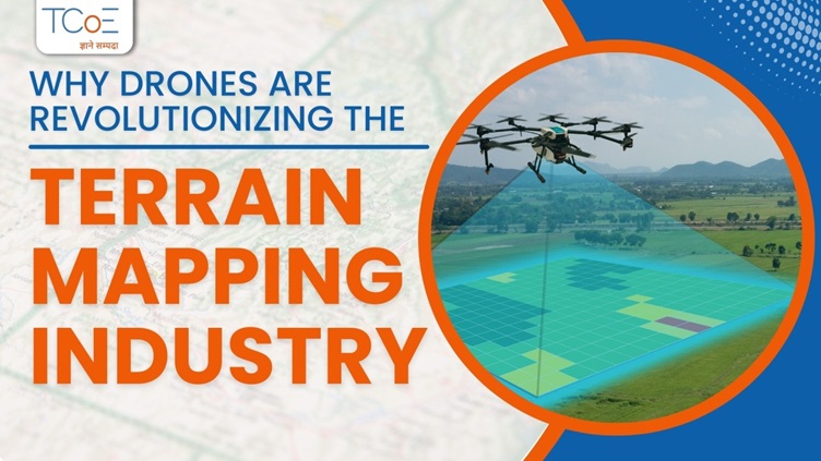
Drones play a significant role in industries like agriculture, construction, and the environment. They are helpful in collecting data for mapping land and terrain. In terrain mapping, drones are used to take pictures from above to generate information about the surface of land, namely its shape, features, and elevation.
There are always two types of people: ones who use ready-made drones and the ones who create their own terrain mapping drones. Building your own drone aids in enhancing knowledge and improving customizing skills. If you also want to improve your skills to develop your own terrain mapping drones, then explore this article.
Key Components for Drone Assembly
There are several important components for building your own drone. Let’s take a sneak peek at them:
1. Frame: The drone involves a light but strong enough body that holds everything together. Thus, to create such a body, carbon fiber is the most crucial material that is both lightweight and durable.
2. Motors and Propellers: Motors are the things that make a drone fly. Motors rotate the propellers that lift the drone into the air. It is very important that you use powerful motors that can lift the drone, including all the equipment, like batteries, cameras, and other sensors. It’s also important to choose an energy-efficient motor so that the drone’s flying time is maximized.
3. Flight Controller: The flight controller acts as the brains of your drone. Its main function is to control the movement of the drone and maintain its stability in the air. Focus on using a good flight controller for reliable and smooth flight.
4. GPS Module: The GPS module helps the drone know exactly where it is and ensures the data it collects is linked to real-world locations. It is necessary for accurate mapping.
5. Camera or LIDAR Sensor: To capture data about land, it is necessary to use a camera or a LIDAR sensor. A camera takes photos of the land, and LIDAR measures distances and creates a 3D-model of the terrain. A high-resolution camera is most suitable to obtain detailed pictures of the land.
6. Battery: One of the most important parts while building a drone is to choose a battery that is lightweight and at the same time has enough capacity. A drone battery has to be high-quality to ensure that the drone flies for long enough to complete its task.
How to Assemble Your Terrain Mapping Drone
Here’s a step-by-step guide to assembling your drone:
1. Assemble the Frame: To begin with, start putting together the main structure of the drone. Carefully attach the arms to the body to give the drone its shape. Make sure everything is placed correctly.
2. Install the Motors: Motors help to spin properly for a stable flight. So, try to connect them securely to the ends of the drone arms.
3. Mount the GPS and Sensors: On top of the drone, attach the GPS module for best satellite reception. Mount the camera or LIDAR sensor underneath the drone to capture the terrain images.
4. Add the Flight Controller: At the center of the drone's body, place the flight controller. Connect it with motors, a GPS module, a camera, and a LIDAR sensor, using appropriate wires. It helps to maintain the balance of the drone and ensure it flies without any issue.
5. Connect the Battery: Mount the battery on the drone and then connect it to the flight controller. It is vital to ensure that the connections are secure and the battery is fully charged.
6. Wiring and Calibration: To make sure everything is connected properly, double-check that all the wire connections are secure and tight. Then, calibrate the flight controller and GPS system so that the drone flies accurately and collects data correctly.
Conclusion
Building your own terrain mapping drone enhances your technical and customization skills for accurate data collection. To further upskill, TCoE offers specialized training in drone tech, GPS, and LIDAR, focusing on hands-on learning and real-world applications. With expert guidance and innovative ideas, TCoE helps you master terrain mapping and create smarter solutions for any project.
Other Blogs